Season: autumn
To crouch in the lea of a rocky outcrop down by the water on East Pentire, as the wind howls above, is quite an experience. Only inches from the pounding Atlantic breakers, the sun explodes out of the clouds to the left in golden shafts, lighting white horses on the storm-tossed waves. The sound is elemental, indescribable; unexpected walls of white water rise rhythmically between the torn rock at your feet.
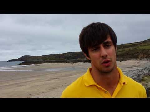
Why Richard goes to the beach.
On East Pentire, looking across and back to Crantock beach.
Season: spring
Crantock’s wide open beach was laid out in the sun, a fine sight from the dunes behind. The River Gannel snaked back towards Newquay, with East Pentire behind. A cold wind sent sand scudding across the pristine beach and the receding tide left intricate dimples among pools of clear water in the sand. Looking down from East Pentire later, this stunning beach is one that can freeze your thoughts in time, holding you with its charms for too short a time.
Ben’s relationship with the beach for both work and pleasure.
The scene at Crantock.
A view of the beach from the dunes.
Season: summer
This is a popular Cornish beach, large in scale and under the care of the National Trust. If you look back to the beach from the end of either Pentire, it has a theatrical nature, charismatic and wild, with sand dunes behind. The beach itself usually has a breeze, even on the apparently stillest day and this gives a walk here an invigorating feel. The River Gannel runs to the sea under East Pentire, covering treacherous tides at its confluence with the Atlantic. More than most, this is a beach that stays in your mind’s eye long after you’ve left it.
Season: winter
I returned to Crantock on a beautiful January day, with the sun bathing the beach on a falling tide. The scene was peaceful, not one you would naturally associate with winter. Crantock is a fine village on the North Cornwall coast, with pubs, hotels, tourist attractions, a shop and holiday lets all readily to hand. There is a toilet block next to the car park, which sits just behind the sand dunes.
A mother and daughter on the beach at Crantock in North Cornwall.
The beach, as seen from above, this time accessed from the western end of the beach.
Season: autumn
It was a bright sunny day on this visit to Crantock, perfect to enjoy one of Cornwall’s premier visitor beaches. Parking is at the National Trust car park through the village behind the dunes, or next to the Bowgie pub on the headland. There’s a well-equipped shop in the nearby village and a choice of pubs.
My first view of Crantock beach on the path down from the Bowgie Inn.
Due to the low tide I could explore the makeshift pull-up places and shed for pilchard fishing in olden days. Continued in the next film.
Continued from the previous film, the makeshift pull-up places and pilchard shed.
Investigating the caves along the side of the beach, I noticed a poem written on a cave wall.